Agenda
- ArcGIS for Developers
- New Stuff
- Web App Builder
- Custom Development
- Anything else?
ArcGIS for Developers
Your Content
- Downloads
- Hosted Data
- Registered Applications
- Usage Summary
OSS
- Replaces old forums
- Has enhanced community features
- Promotes collaboration
Show me some new stuff*

*Actual stuff may not be new to you
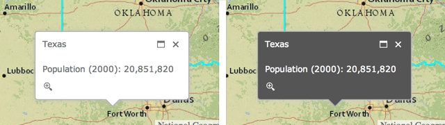
1. Popup improvements
Use related fields in a popup template
"fieldName": "Point_Count_COMMON" // not related
"fieldName": "relationships/0/Point_Count_COMMON" // related
Light and Dark popup themes
- .NET, Java, PHP
- Accessing resources secured with token based authentication
- OAuth 2.0 app logins
- Enabling logging
- Both resource and referer based rate limiting
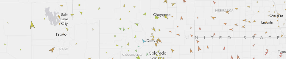
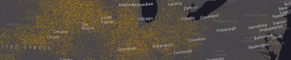
3. Better vector maps
- Rotation
- Symbol scaling
- Dot density renderer
- Scale dependent renderer
3.1. Rotation
Geographic
Arithmetic
layer.renderer.setRotationInfo({
	field: 'heading',
	type: 'geographic'
});
3.2. Symbol scaling
layer.renderer.setProportionalSymbolInfo({
	field: 'GroundArea',
	valueUnit: 'meters',
	valueRepresentation: 'area'
});

layer.renderer.setProportionalSymbolInfo({
	field: 'GroundArea',
	minDataValue: 1,
	minSize: 4,
	maxDataValue: 100,
	maxSize: 20
});
3.3. Dot density renderer
var renderer = new DotDensityRenderer({
  fields: [{
    name: "M163_07",
    color: new Color("#CC8800")
  }],
  dotValue: 1600,
  dotSize: 1
});
layer.setRenderer(renderer);
3.4. Scale dependent renderer
var params = {rendererInfos: [{
  "renderer": renderer1,
  "minScale": 50000000,
  "maxScale": 10000000
}, {
  "renderer": renderer2,
  "minScale": 10000000,
  "maxScale": 5000000
}]};

var scaleDependentRenderer = new ScaleDependentRenderer(params);
layer.setRenderer(scaleDependentRenderer);
New repository on GitHub with TypeScript definitions for the JS API as well as the jshint options file used by the JS API team
5. New Layers
- Create custom builds of the JS API
- Host online or download
- Doesn't require credits
- Potential benefits
7. Circles _
var circle = new Circle({
  center: point,
	radius: 100
});

var graphic = new Graphic(circle, symbol);
map.graphics.add(graphic);
8. New Map Widgets
- Home button
- Locate button
- Swipe tool
9. Go Offline
- Finally!
- Export tiles from tiled service
- Sync framework for feature services
10. Web App Builder

Web App Builder
What is it?
Supported Browsers
- Chrome
- Firefox
- Safari 3+
- Internet Explorer 9+
Installation
- Stupid simple
- Download Unzip run start.bat
- or
- run node server.js in directory from command prompt
Create an App
- Set the map (webmap)
- Set the theme
- Choose your widgets
- Set the app attributes
- Run it!
Webmap 101
- Basemap
- Operational data
- Popups
- and more
- More info
Set your (Web)map
- Author on ArcGIS Online
- or Portal
- Set the start extent
Set your theme
- Determines look and feel
- Layout
- Affects the UX
App Attributes
- Title
- Subtitle
- Logo
- Links
- Use a proxy
Widgets
OOTB
- Some are preconfigured with a layout
- In-panel and off-panel widgets
- ~20 included currently
Off-Panel widgets
- Attribute table
- Coordinate
- Geocoder
- Home Button
- My Location
- Overview Map
- Scalebar
In-Panel widgets
- Basemap Gallery
- Bookmark
- Chart
- Directions
- Draw
- Edit
In-Panel widgets cont.
- Geoprocessing
- Layer List
- Legend
- Measurement
- Print
- Query
Customization Options
- Edit existing widgets / themes
- Create widgets
- Create themes - styles and layouts
Geocoder
Change the default behaviour
Enough config, lets build something

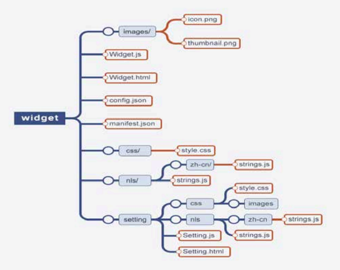
Custom Widgets
- Naming convention
- Required files
- In or Off Panel
- Can be configurable (code and in builder)
- Support multiple cultures
- Support themes
- Communication with app container, map and other widgets
Convention and Defaults
BaseWidget
define(['dojo/_base/declare', 'jimu/BaseWidget'],
function(declare, BaseWidget){
  return declare([BaseWidget], {
		// do stuff here
  });
});
Lets Create a Widget
OpenWeatherMap
Combine forces


Custom Themes
- Panels
- Theme Widgets
- Styles
- Layouts
- Images
- manifest.json
Lets Create a Theme
Deployment
- Download zip from WAB
- Unzip and configure with web server
- APP ID?
Third Party Libraries
Yes you can use them
Lets Deploy!

What about different environments?
Before we move on

COTS vs. Custom
COTS

Custom
Types of Apps
- Map centric
- Maps as app navigation
- Map as context
- Map-less apps
Development Toolbox

Development Toolbox
- IDE
- Source Control
- Design
- Collaboration
- Knowledge sharing / discovery
- Testing
Leverage Existing Widgets

Remember
- Read code
- Write code
- Delete code
- Repeat
 image from saltoff.co.nz

- Find an Eagle staff member
- Ask a question
- Guess the number of #NZEUC tweets
- Follow @eaglegis for updates
- Entries close an hour before closing session